Aerial Photogrammetry Surveying: Geokonsult Solutions
image source: ausengs.com.au
Aerial photogrammetry surveying is a technique used to obtain precise measurements and create detailed 3D models of the Earth's surface by analyzing aerial photographs. It is a widely used method in geospatial data collection, mapping, and analysis. If you're curious about aerial photogrammetry surveying and have questions about its process, applications, and benefits, this blog post will address some frequently asked questions, providing insights into this powerful surveying technique.
What is aerial photogrammetry surveying, and how does it work?
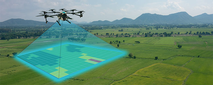
Aerial photogrammetry surveying involves capturing aerial photographs of the Earth's surface from an elevated position, typically using an aircraft equipped with specialized cameras. The process generally follows these steps:
a) Flight Planning: A flight plan is developed to ensure optimal coverage and image overlap, considering factors such as altitude, speed, and camera specifications.
b) Image Capture: The aircraft flies over the area of interest, capturing a series of overlapping aerial photographs. These photographs are taken from different angles and perspectives to capture the necessary information for accurate 3D modeling.
c) Ground Control Points (GCPs): Known reference points on the ground, called Ground Control Points, are established and marked to provide georeferencing information for accurate positioning of the aerial photographs.
d) Photogrammetric Processing: The captured aerial photographs are processed using specialized software, which analyzes the overlapping images, identifies corresponding points, and calculates the 3D positions of these points on the Earth's surface.
e) 3D Model Generation: The processed data is used to generate a detailed 3D model of the surveyed area, including accurate measurements of terrain, structures, and objects.
What are the applications of aerial photogrammetry surveying?
Aerial photogrammetry surveying has numerous applications across various industries:
a) Mapping and Cartography: Aerial photogrammetry is widely used for creating accurate topographic maps, orthophotos, and digital terrain models (DTMs).
b) Urban Planning and Development: It aids in urban planning by providing detailed information about buildings, roads, and infrastructure, facilitating design and development processes.
c) Environmental Monitoring: Aerial photogrammetry enables monitoring and analysis of land use changes, vegetation health, coastal erosion, and habitat mapping.
d) Infrastructure Management: It assists in the assessment and management of infrastructure assets, including highways, railways, pipelines, and power lines.
What are the advantages of aerial photogrammetry surveying?
Aerial photogrammetry surveying offers several advantages over traditional surveying methods:
a) Large Area Coverage: Aerial photographs cover a significant area in a single flight, allowing for efficient surveying of large and remote areas.
b) High Precision and Detail: Advanced photogrammetric techniques ensure high accuracy in measurements and detailed 3D modeling of terrain and objects.
c) Cost-Effective: Aerial photogrammetry surveying eliminates the need for ground-based surveying, reducing costs and time associated with on-site data collection.
d) Non-Intrusive: Aerial surveys minimize disruption to the surveyed area and do not require direct access, making them suitable for sensitive or hard-to-reach locations.
How accurate is aerial photogrammetry surveying?
The accuracy of aerial photogrammetry surveying depends on several factors:
a) Image Quality: High-resolution aerial photographs captured with high-quality cameras result in better accuracy and detail in the survey data.
b) Ground Control Points: Accurate positioning of Ground Control Points on the ground ensures precise georeferencing and improves overall accuracy.
c) Image Overlap: Sufficient overlap between aerial photographs enables accurate matching and calculation of 3D positions.
d) Data Processing: The qualityof photogrammetric processing software and the expertise of the surveying team play a role in achieving accurate results.
Aerial photogrammetry surveying is a powerful and versatile technique for geospatial data collection and mapping. Its ability to generate accurate 3D models and measurements from aerial photographs enables efficient surveying and analysis of various landscapes and structures. Understanding the process, applications, and benefits of aerial photogrammetry surveying empowers professionals to leverage this technology for accurate mapping, planning, and decision-making in diverse industries.


Comments
Post a Comment